Stats:

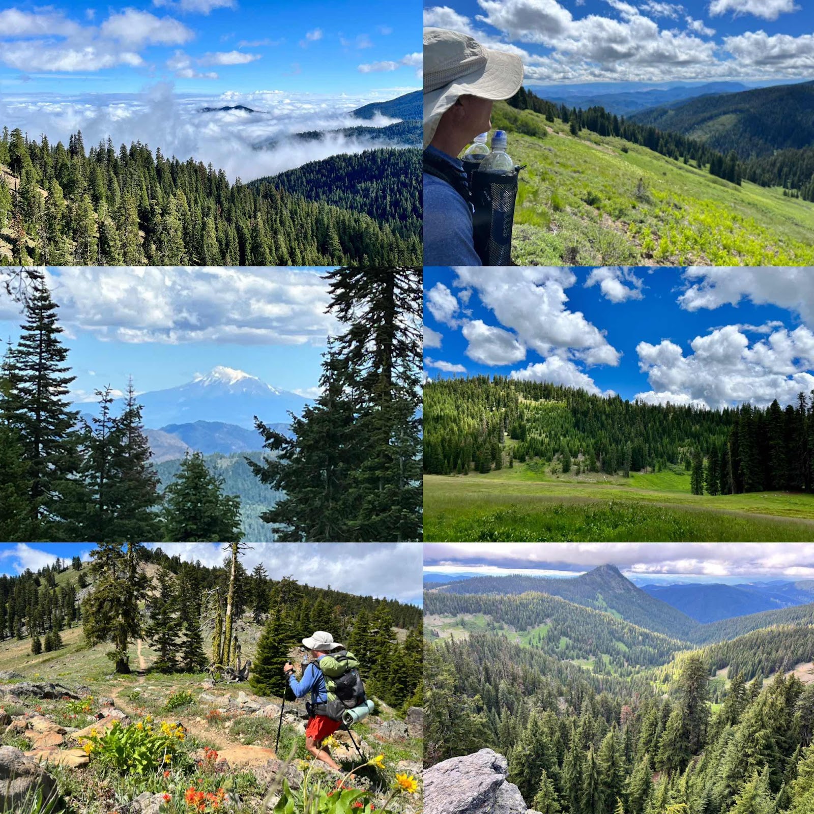
Big views and a big day of hiking for us. I felt like crap most of the day with a headache, leg aches and shoulder pain and yet I still loved hiking the trail. When you love everything changes.
The young Japanese man came toward us on the trail and he bowed ( deeply) and said excitedly in broken English, “I saw brown bear,” he pointed back down the trail, “and two baby black bears”. Then he beamed and said, “I like nature”. We complemented him on his achievement of hiking California and he bowed deeply again and thanked us.
All day long we have brief encounters with others on the trail. Too many for me to document in detail, but it adds a very human connection while enjoying nature and pushing our bodies a bit to feel more alive.
This is the adorable Czech couple we met. Lumber and Jack. She said in the beginning they both had plaid shirts. Lol! Jack also has a really bad case of poison oak on her legs.

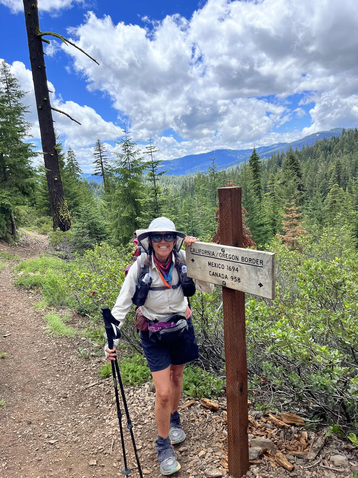
The trail in Oregon was quite soft and smooth and no blowdowns. Then we made it to the border and it all changed.
Rocks and blowdowns and a very dying and decaying forest. The soil type did change, and that’s part of it, but we also need to manage our forests better. We should be logging our National forests. This will help clean them up and protect them from fire. I’m climbing off my soapbox now.
We saw a fawn and many birds and lots of flowers today. This one looks like it’s fake. 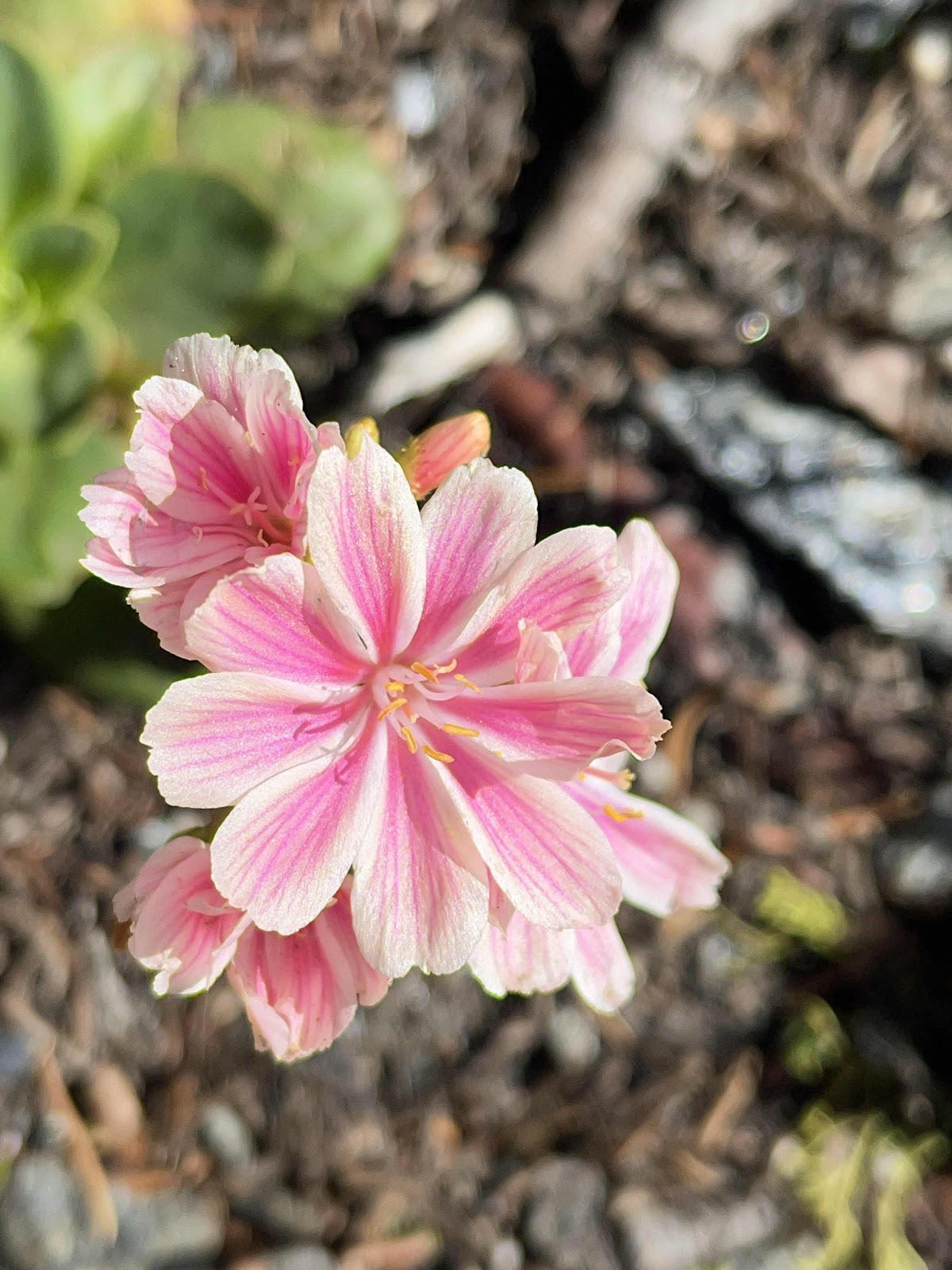
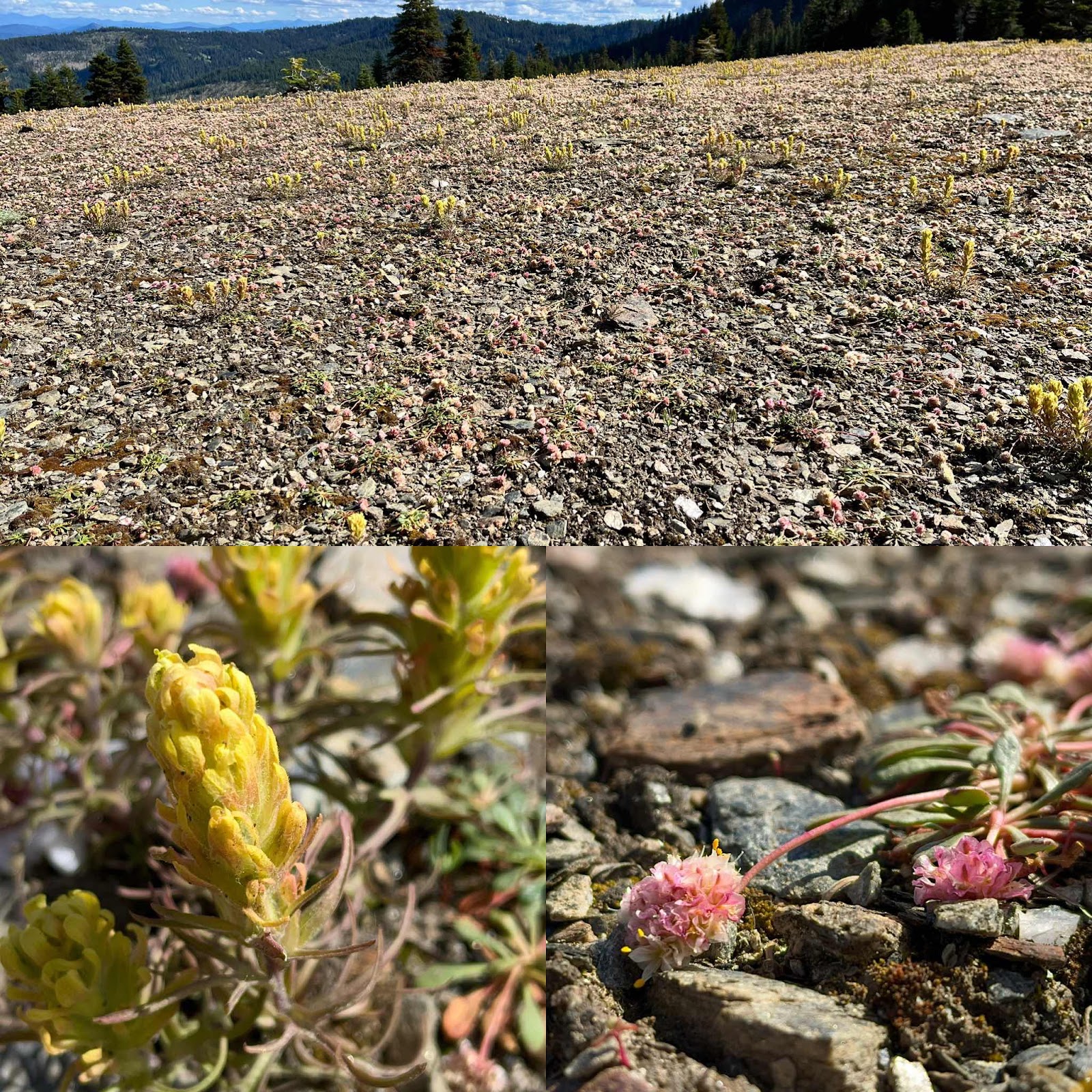
These tiny ones are really weird and covered hundreds of acres. I will have to do some in investigating later to figure out what they are.
Our destination for the day was mud springs. When we got to where our app said the springs were and we opened the map on our app, the springs disappeared on the electronic app. A man walked up to us at this moment and said he needed water, and did we know where some was. He’s doing some big adventure across the western states and doesn’t have any map app and you could tell he looked down on PCT thru hikers. He said he used paper maps and a guide book. We were cool, he said, because we were out doing our own thing. He shook our hands and said we looked great ( for our age! Lol) We did find on our map app a different spring, but it was nearly a mile in the wrong direction for us and not on trail, so we decided to continue a few miles on to a stream, while Travis the adventurer hiked off to the spring without his own map app, but pleased to have used ours.
Hawkeye wins again though, by noticing a very well used cow trail that led to water. It wasn’t even on our map, but he found it with his keen observation skills and we did not have to hike two more miles in the twilight.
We found a camping spot, just below a ridge and are enjoying watching the clouds float by and a few late hikers. We haven’t been using the map app’s listed camp sites very often because they are crowded with all the thru hikers. I don’t think we’ve ever section hiked against the flow of northbound hikers before.
Enjoying reading your adventures!
ReplyDelete